Is DeSoto Falls worth hiking?
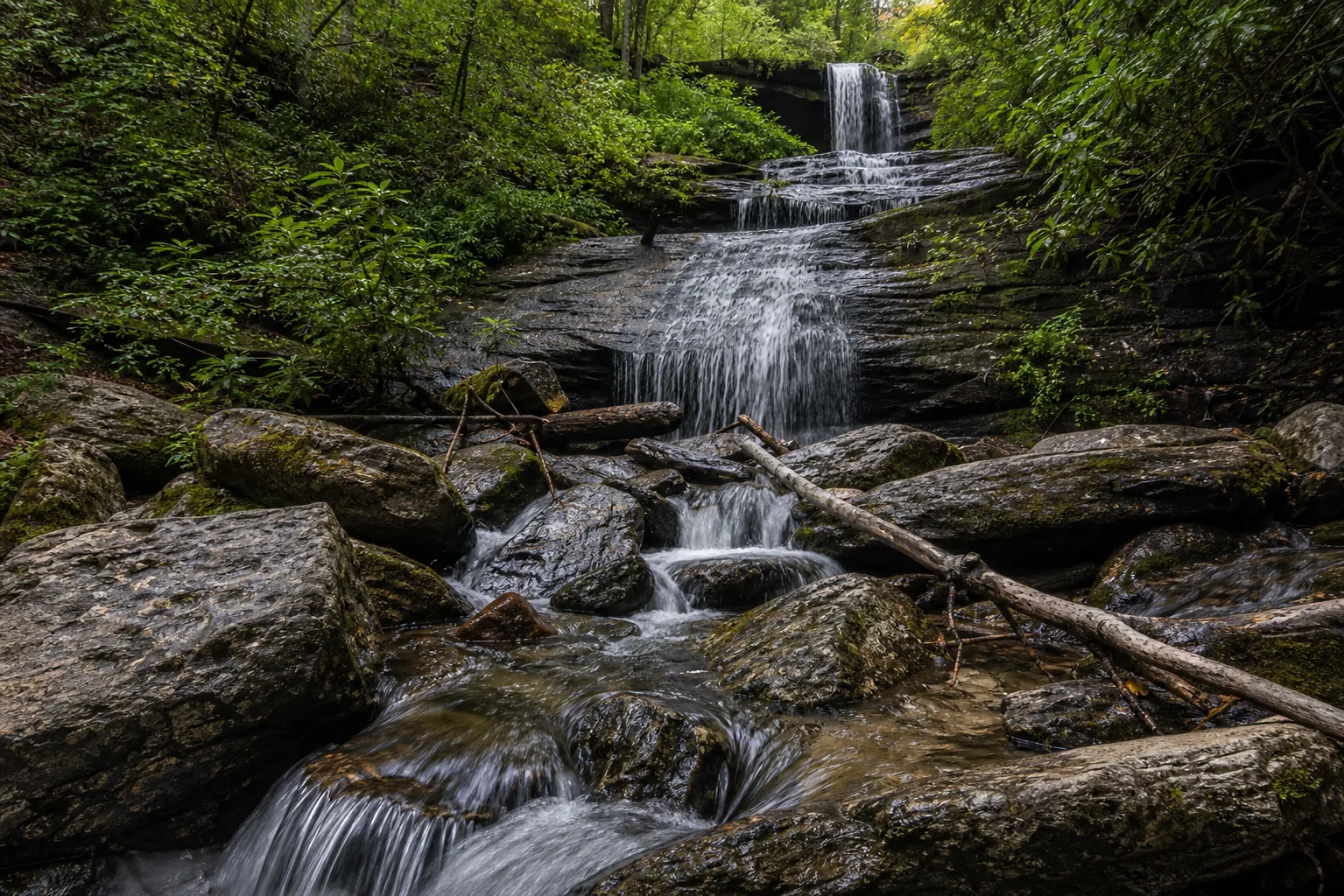
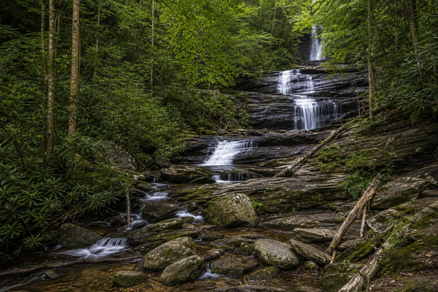
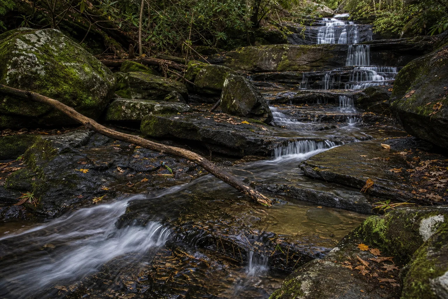
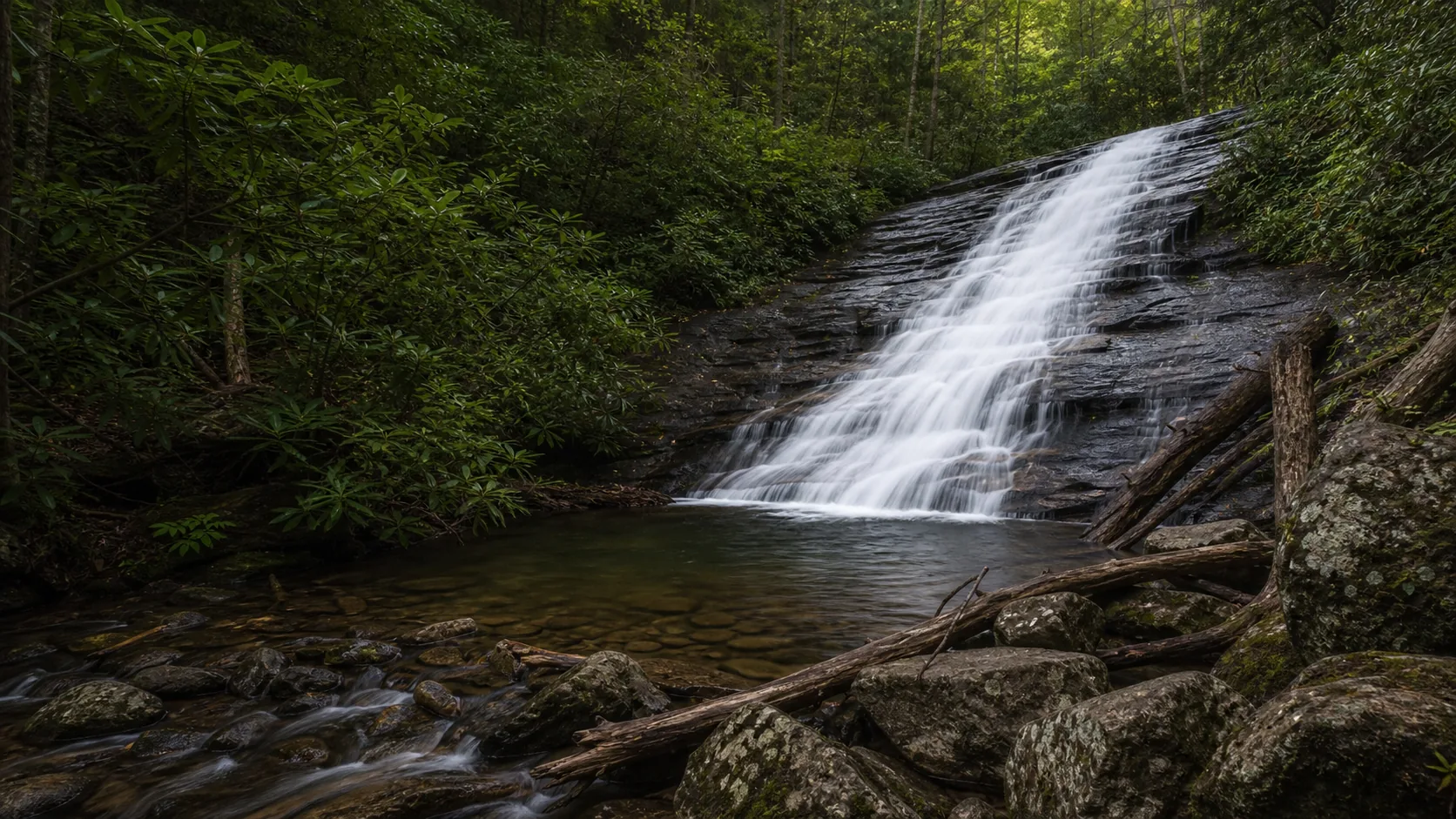
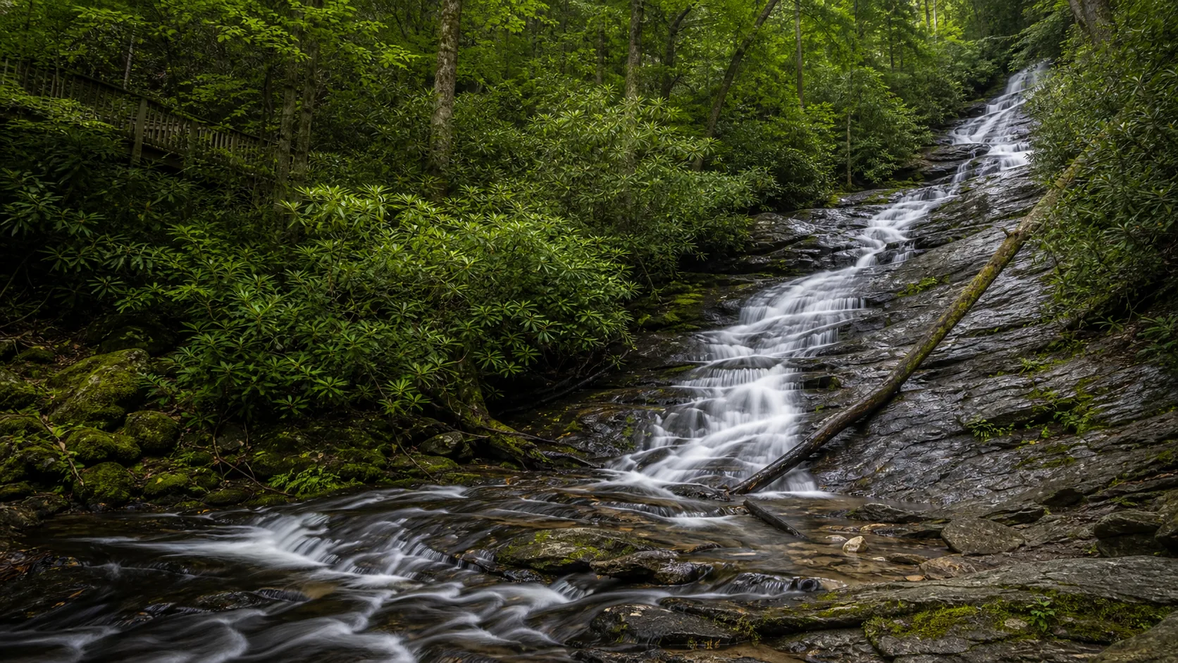
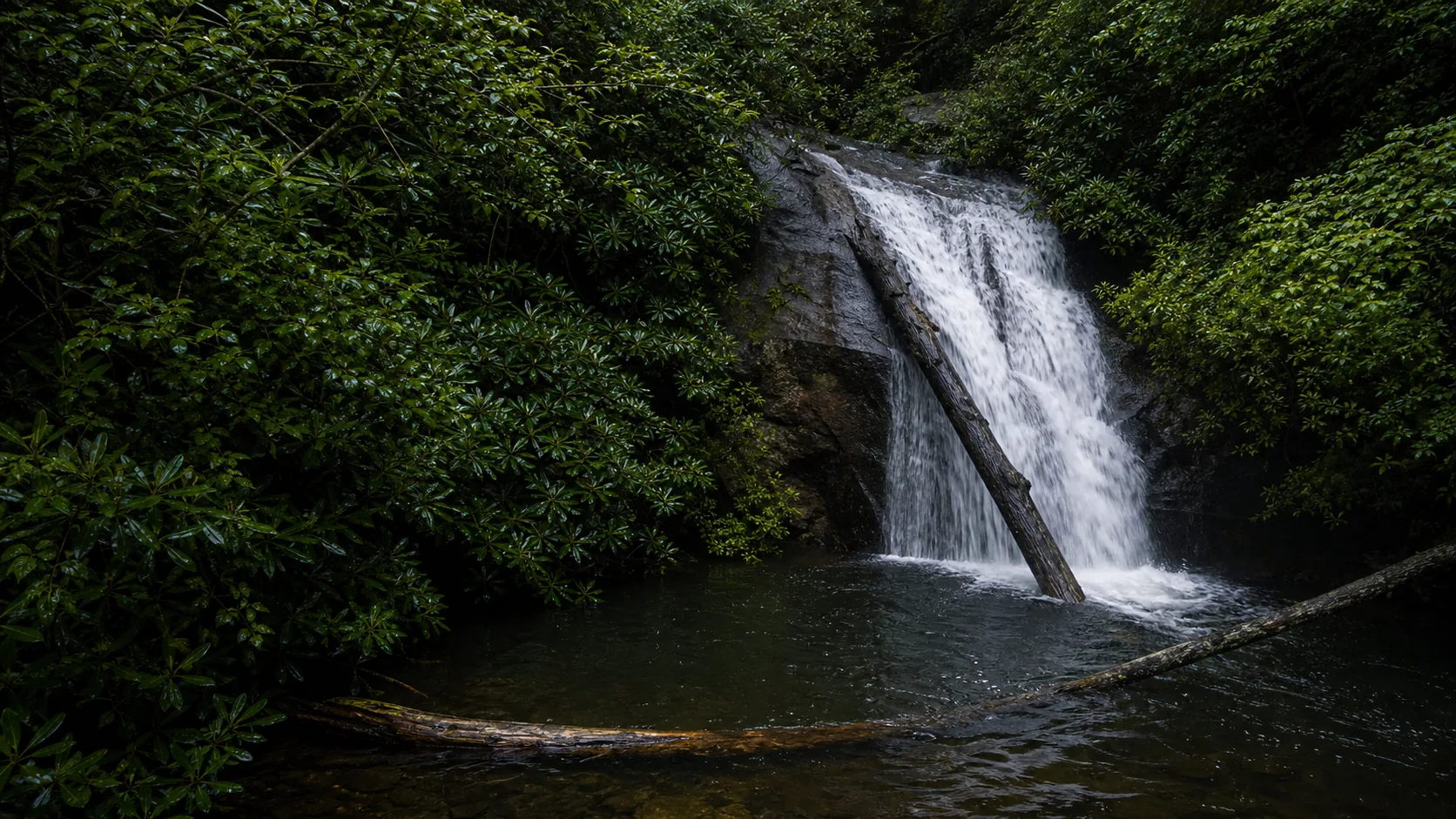
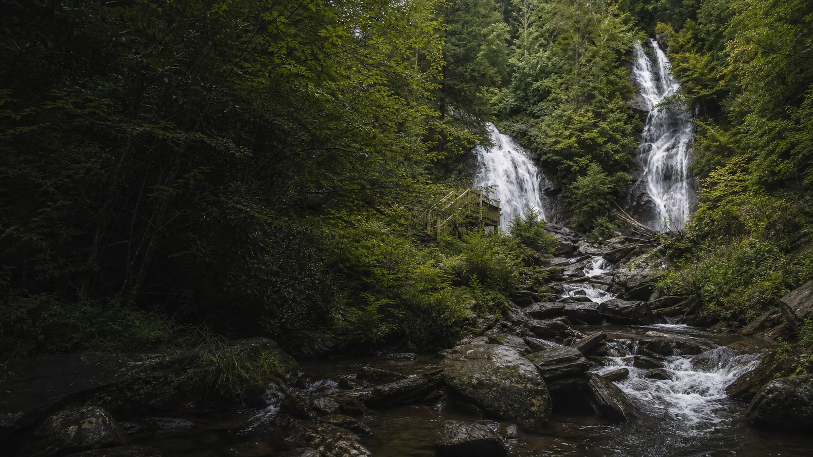
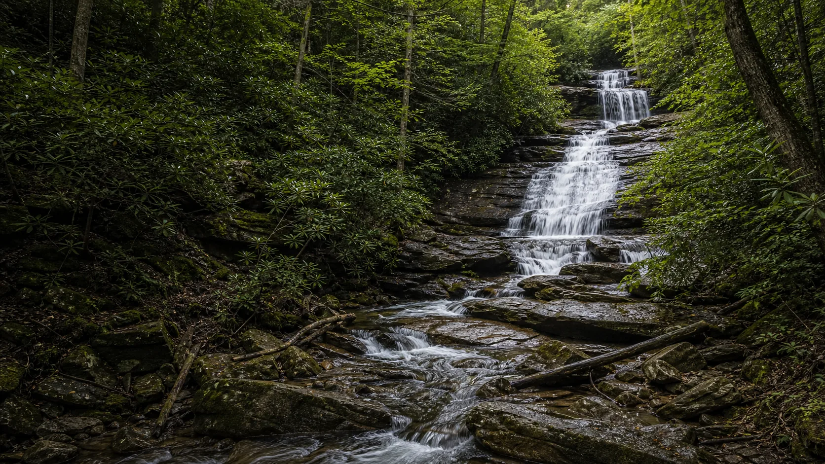
Yes. The 2.2-mile DeSoto Falls Trail visits two cascades on Frogtown Creek, with the Lower Falls (about 30 feet) reached in under a quarter mile and the Upper Falls (a roughly 80-foot multi-tier drop) just over a mile in. The best windows are March through May for peak flow after Blue Ridge rains and late October for hardwood color on the trail. Plan for a $5 per vehicle day-use fee at the recreation area, arrive before 10 a.m. on weekends, and skip the swim plans; the pools are slick and the Forest Service signs ask you to stay on the wooden viewing platforms.
- 2.2-mile out-and-back trail to both Lower and Upper DeSoto Falls
- $5 per vehicle parking fee at the recreation area
- Open year-round during daylight hours; lot fills on weekends
- Leashed dogs welcome on the full trail
- No swimming; pools are surrounded by slick rock and fast water
- Wooden viewing platforms at both falls; do not climb on the cascades
Last verified May 4, 2026
Visited Desk-verified May 2026
5 sources checked