Is Long Creek Falls worth visiting today?
Yes, in the right window. The cascade runs strongest from March through May and again after autumn rain, with a second visit-quality peak in October when the hardwood canopy turns. Three Forks parking is currently free on Forest Service Road 58; budget a separate site fee if you extend the trip to Anna Ruby Falls ($6 per adult) or another developed Chattahoochee-Oconee fee site the same day, and treat the gravel road as the slow part of the drive rather than the trail.
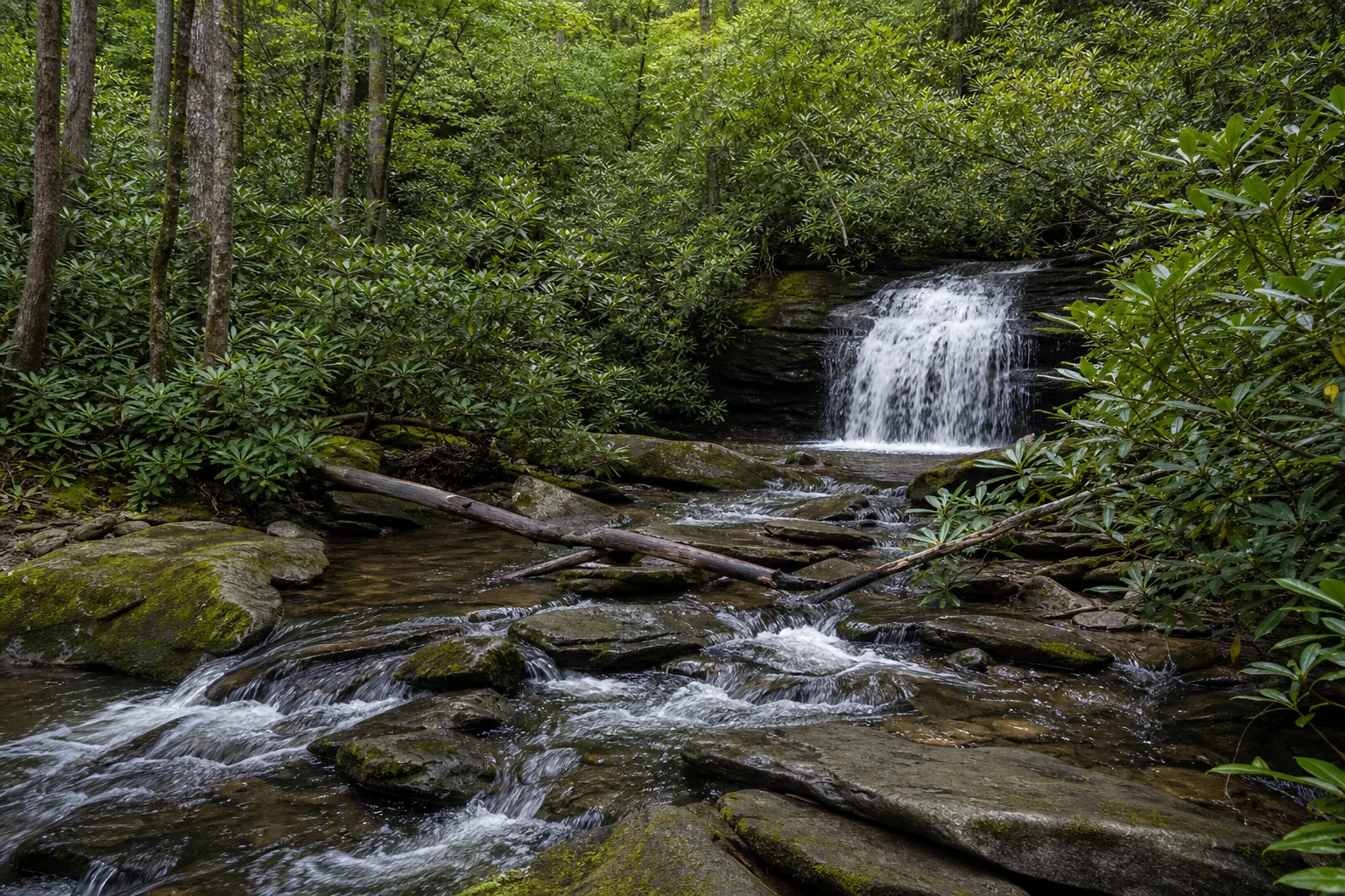
- 2 mile out-and-back from Three Forks parking
- On the Appalachian Trail / Benton MacKaye Trail junction
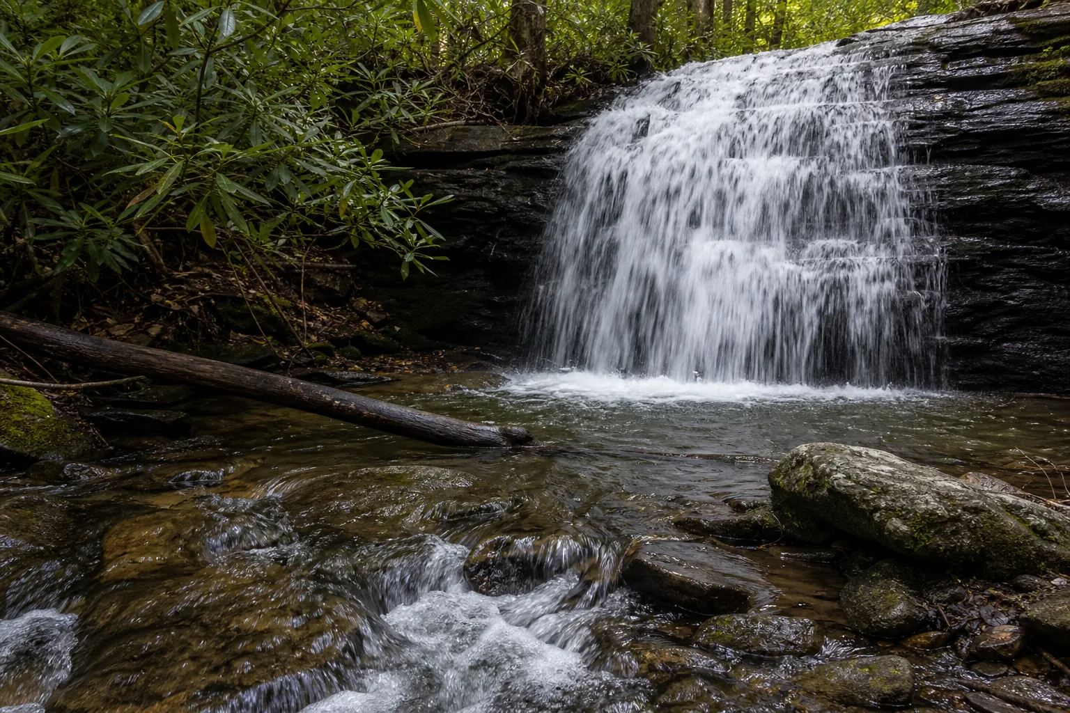
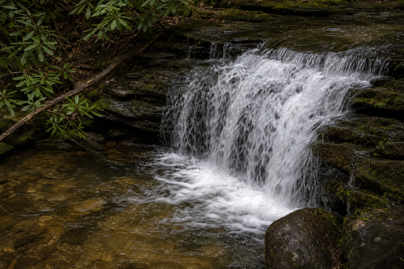
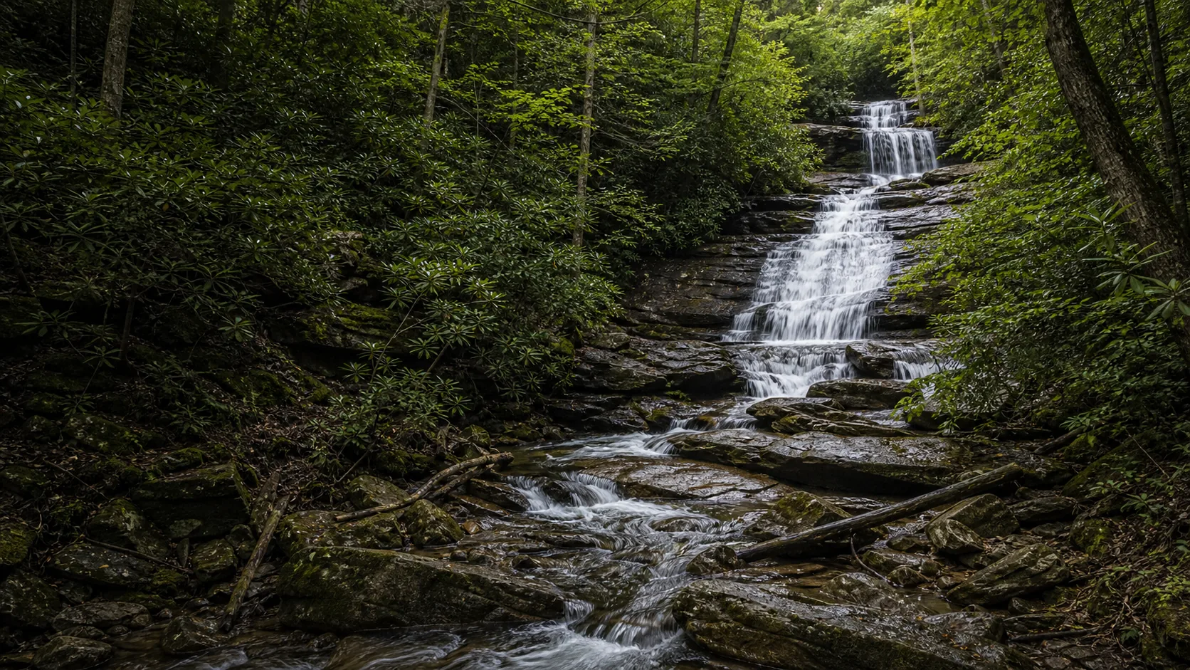
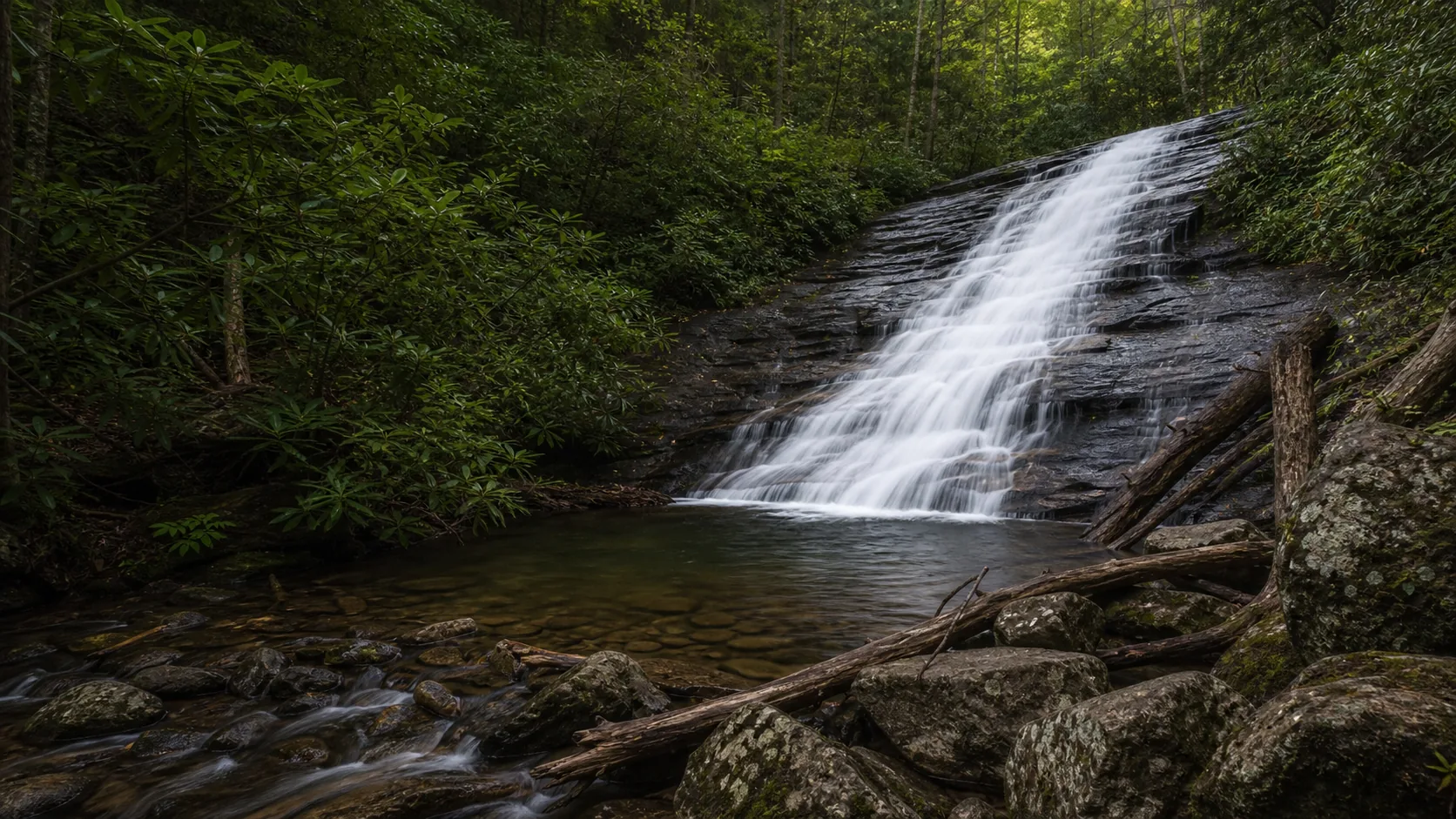
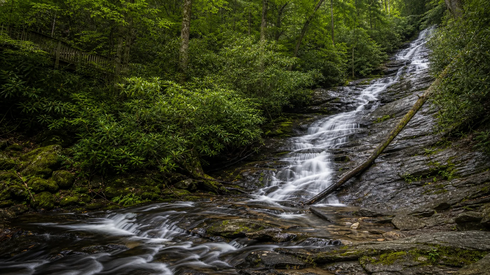
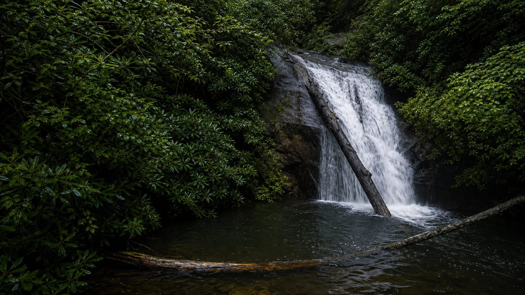
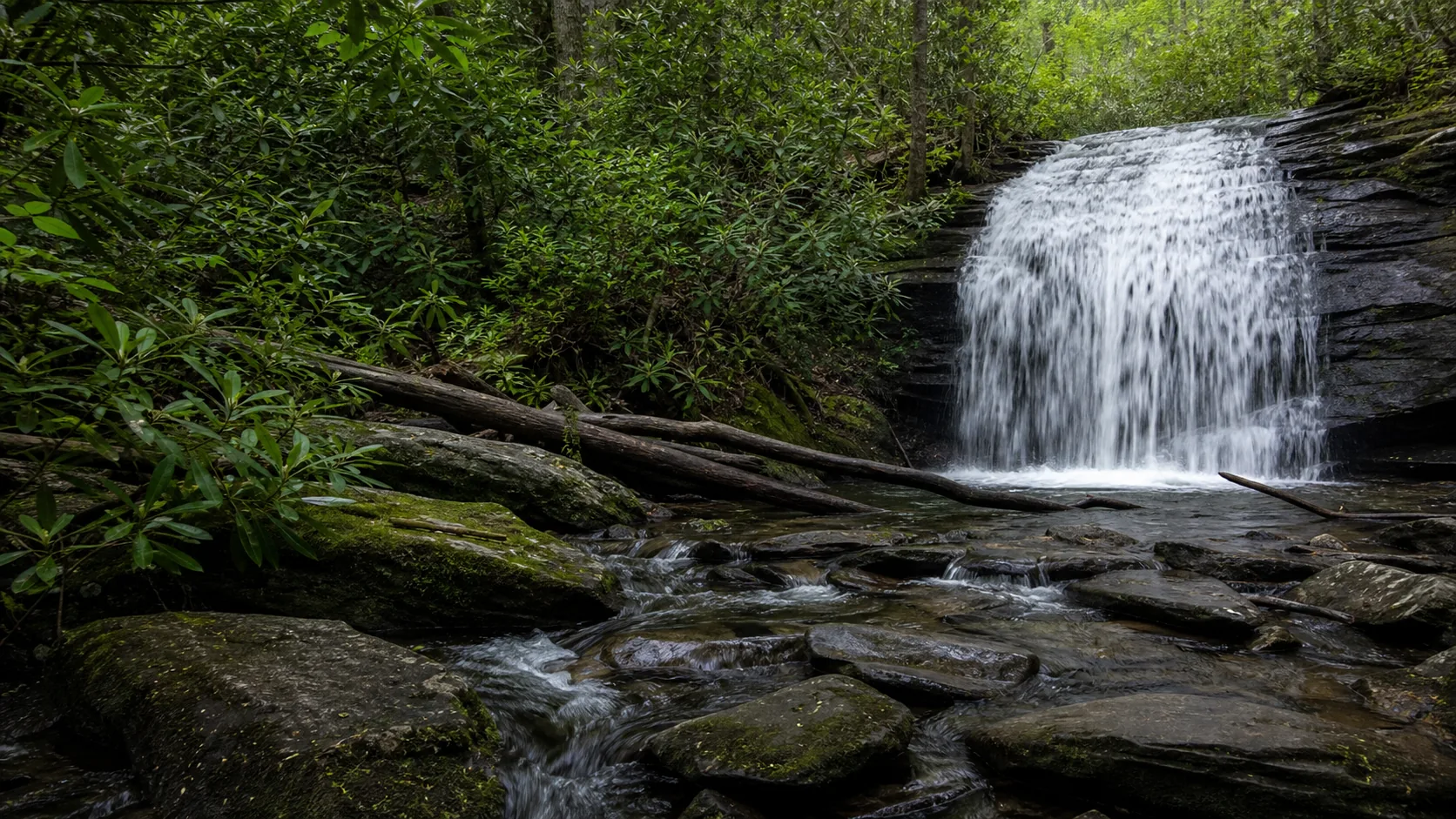
- 25-foot two-tier cascade on Long Creek
- Free roadside parking on Forest Service Road 58
- Dog-friendly on leash
- Best Mar-May for flow, October for color
Last verified May 12, 2026
Visited
12 sources checked