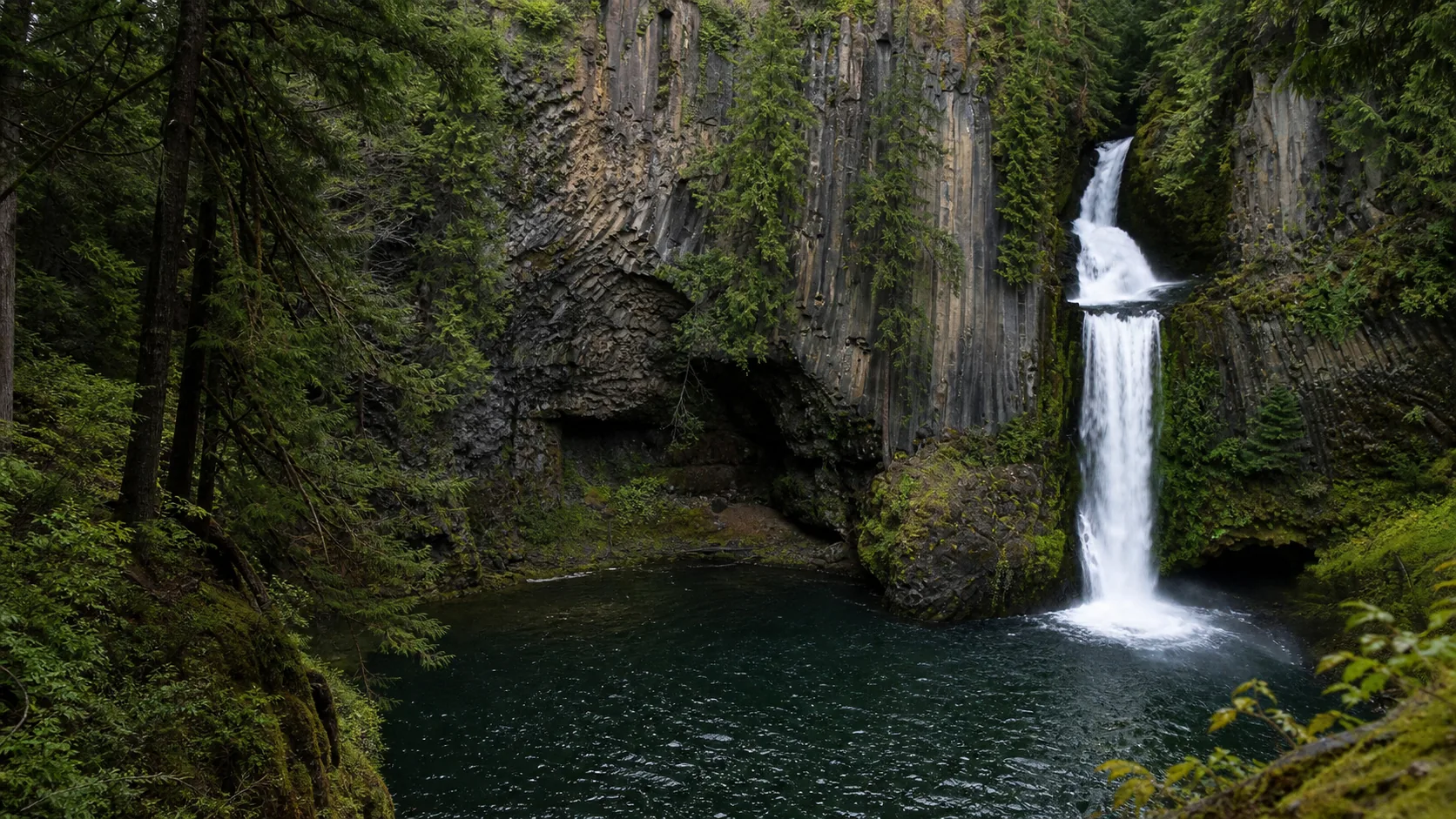
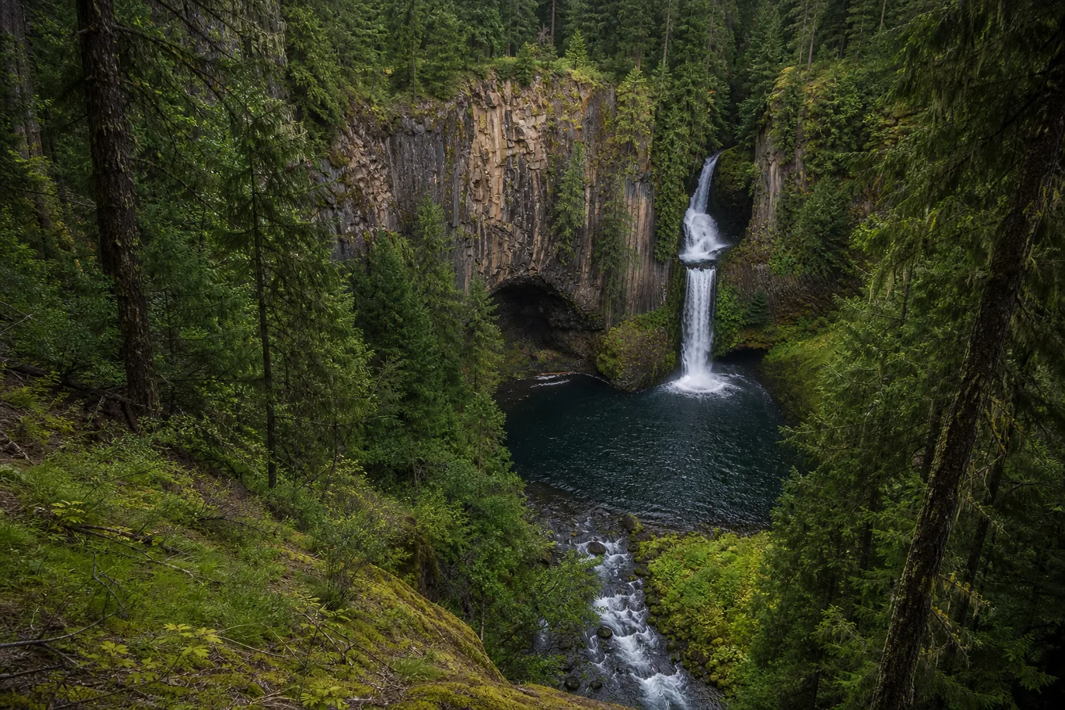
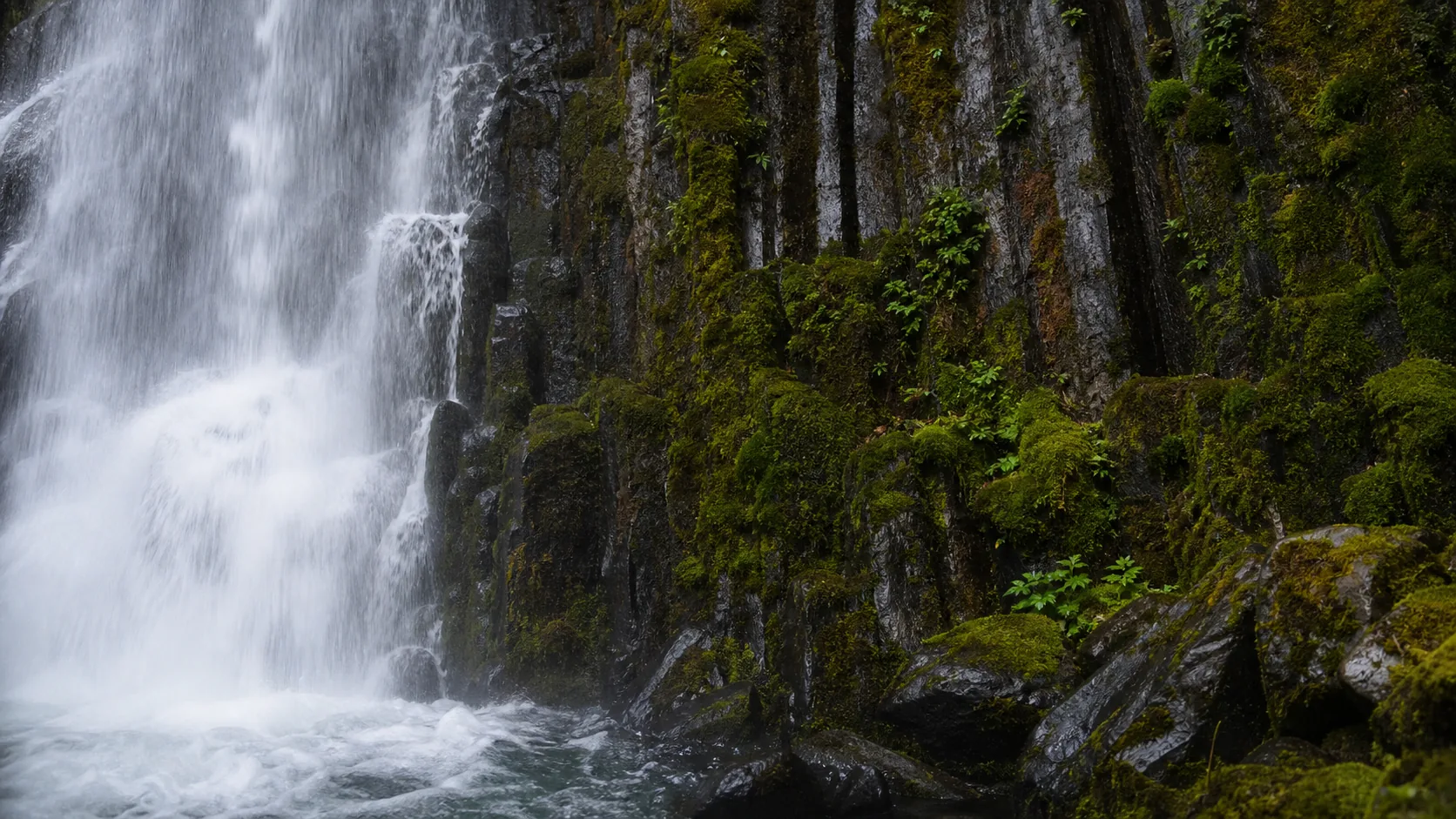
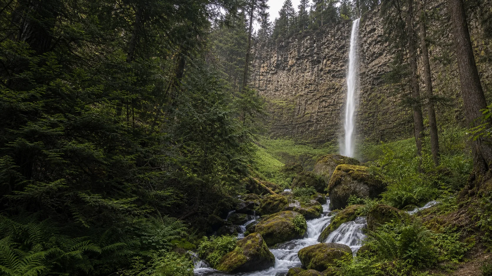
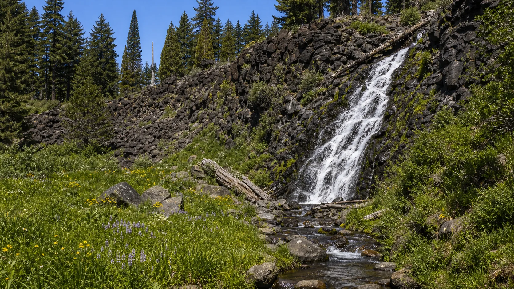
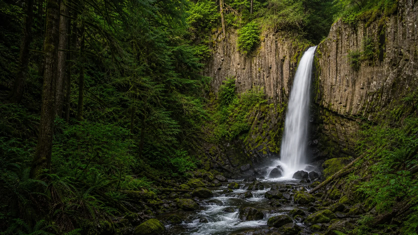
Toketee drops through a narrow gorge of columnar basalt on the North Umpqua River, where lava flows from the Western Cascades cooled into the hexagonal, vertically jointed columns that frame the overlook view. The columns formed as the lava contracted on cooling; the dark, regular geometry behind the curtain is structural, not weathered.
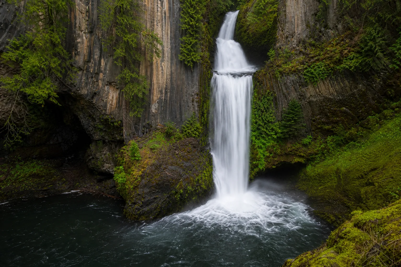
The two-tier shape is a function of two resistant basalt ledges stacked above each other. The river breaks over a roughly 40-foot upper lip, drops into a short pool, then plunges another roughly 80 feet into the round amphitheater at the bottom. The total drop is about 120 feet. The architectural feel of the view is unusual for Oregon: most Cascade waterfalls fall down forested walls, while Toketee falls into an enclosed slot defined entirely by vertical columns.
The North Umpqua sits at the western edge of the High Cascades and drains a basin where Pliocene and Pleistocene basalt flows stacked over older andesite. The flows that produced the Toketee gorge are several million years old, weathered along vertical joint planes into the visible column structure. The plunge pool itself is bedrock and small, which is why the lower drop reads so loud from the overlook: most of the energy of the river is delivered into a confined basin rather than dissipating across a wider channel.