Is Issaqueena Falls worth visiting?
Yes, especially in March through May after Upstate rain and again in October when the hardwoods color the gorge. The visit is free, the parking lot is free, the trail from the Stumphouse Tunnel lot to the fenced overlook runs about a tenth of a mile downhill, and the falls runs year-round even in dry summers because Cane Creek drains a broad section of Stumphouse Mountain. Pair it with the 1850s Stumphouse Tunnel one minute away for a 60- to 90-minute combined stop.
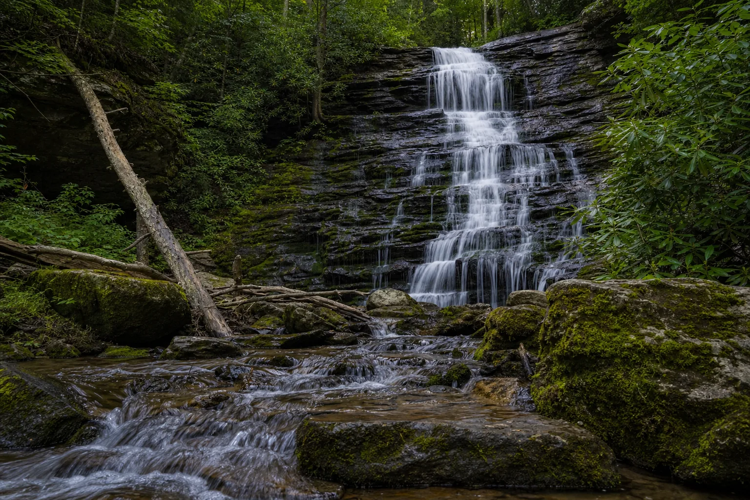
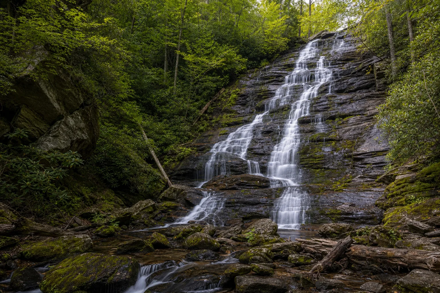
- 100-foot single-drop plunge in Sumter National Forest
- Short 0.3 mi out-and-back from Stumphouse Tunnel lot
- Free parking, no entrance fee
- Best windows: March-May and October
- Pair with the 1850s Stumphouse Tunnel
- Sits on the SC-11 Cherokee Foothills Scenic Byway
Last verified May 12, 2026
Visited Desk-verified May 2026
8 sources checked