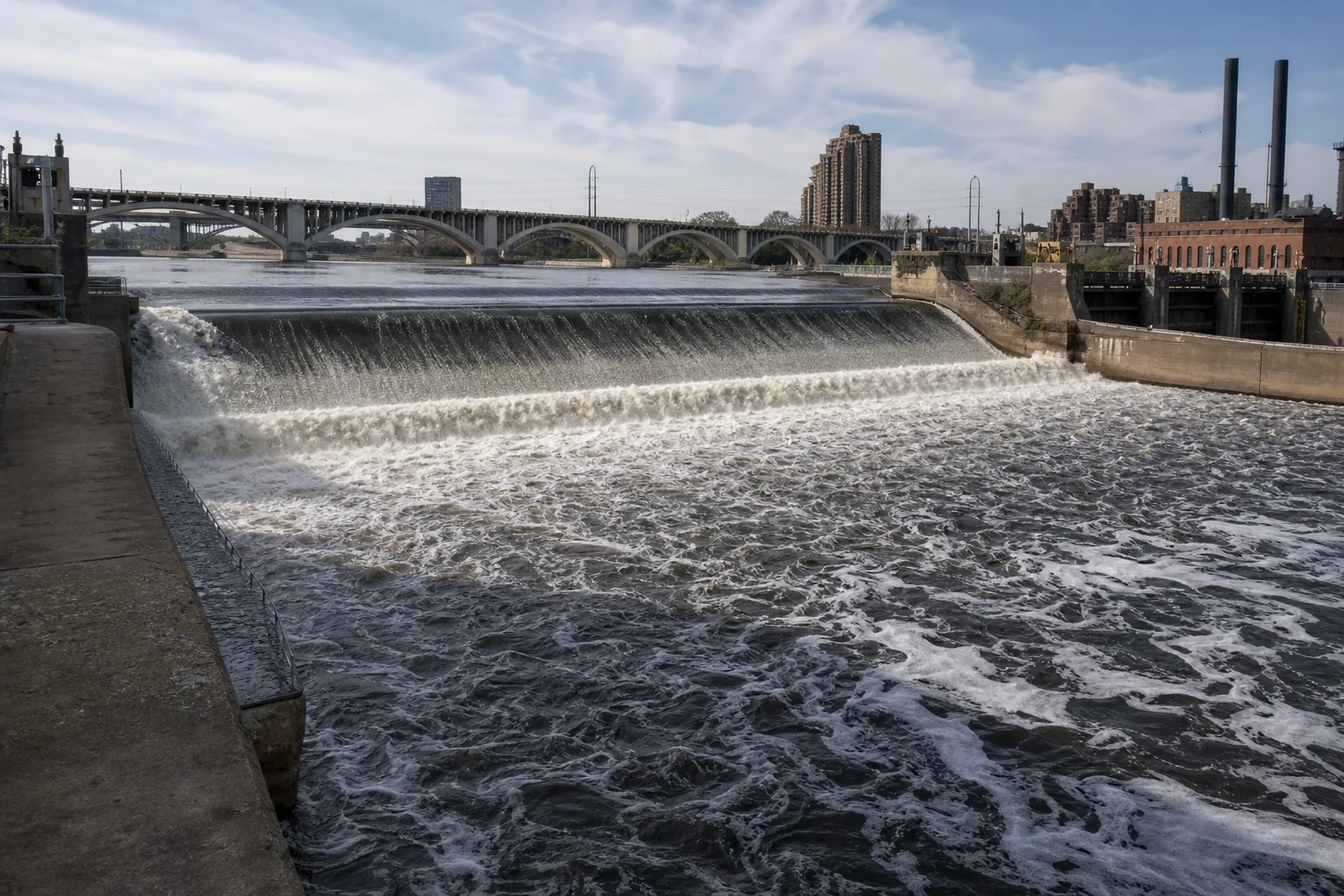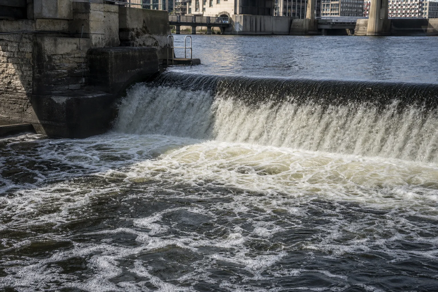
Is St. Anthony Falls worth visiting?
Yes, and unlike most waterfalls it works year-round because the Mississippi never stops flowing. The two strongest visits are April through June for spring runoff over the spillway and January through February when the surrounding river ices in and frames the rushing apron in white. It is free, fully urban, fully accessible from the Stone Arch Bridge, and pairs in a single afternoon with Minnehaha Falls and Hidden Falls.
- Only true waterfall on the Mississippi
- Stone Arch Bridge is the iconic view
- Mill City Museum adjacent
- Year-round flow over the spillway
- Fully paved, step-free access
- Free, open 6 a.m. to 10 p.m.
Last verified May 12, 2026
Visited April 2026
8 sources checked